UN
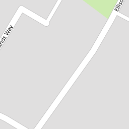
80 Ellison Way
£ 355,000
Description
We don't have a Description for this property.
- Bedrooms
- 4
- Bathrooms
- 0


Leaflet © OpenStreetMap contributors
The heatmap indicates the level of crime in the area. The color of the heatmap indicates the crime severity and recency.
Metrics Year-on-Year
- Average area value
- 394,630.00 £Increased by 8.81 %
- Average area rental value
- 1,373.00 £/moDecreased by 6.60 %
- Est rental Yield
- 4.18 %Decreased by 13.99 %
- Crime Rate
- 12.00 %Unchanged by 0.00 %
from 362,677.00 £
from 1,470.00 £/mo
from 4.86 %
from 12.00 %
Nearby Schools
| Name | Type | Ofsted | Distance |
|---|---|---|---|
| Riverside Primary School | Academy Converter | Good | 0.65 KM |
| Riverside Children'S Centre | Children's Centre | 0.68 KM | |
| Leigh Academy Rainham | Free Schools | 1.31 KM | |
| St Margaret'S Church Of England Junior School | Academy Converter | Good | 1.48 KM |
| St Margaret'S Infant School | Academy Converter | Good | 1.48 KM |
Images
Nearby Streets
| Name | Average Price | Average Sqft | Distance |
|---|---|---|---|
| Sunderland Drive | £ 0 | 0 | 0.00 KM |
| Blackthorne Road | £ 325,000 | 0 | 0.00 KM |
| Beata Gardens | £ 525,000 | 0 | 0.00 KM |
| Fruit Fields Drive | £ 0 | 0 | 0.00 KM |
| Cherry Orchard Drive | £ 0 | 0 | 0.00 KM |
Nearby Transport
| Name | NLC | TLC | Distance |
|---|---|---|---|
| Rainham (Kent) | 5177 | RAI | 0.56 KM |
| Newington | 5175 | NGT | 6.20 KM |
| Gillingham (Kent) | 5169 | GLM | 7.44 KM |
Nearby Listings
| Address | Price | Type | Score | Distance |
|---|---|---|---|---|
| Station Road, Rainham, Gillingham, ME8 | £ 280,000 | BUY | 8 / 10 | 0.14 KM |
| A Period Classic with Modern Flow — Just Minutes from Rainham Station | £ 350,000 | BUY | Unknown | 0.14 KM |
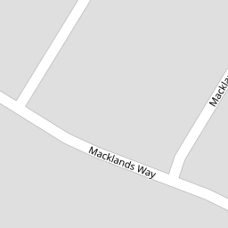
| Macklands Way, Rainham | £ 300,000 | BUY | 7 / 10 | 0.15 KM |
| Macklands Way, Rainham, Gillingham, Kent | £ 231,500 | BUY | 7 / 10 | 0.17 KM |
| Macklands Way, Rainham, Kent | £ 315,000 | BUY | 6 / 10 | 0.17 KM |
Nearby Properties
| Address | Price | Distance |
|---|---|---|
| 72 Ellison Way | £ 375,000 | 0.00 KM |
| 76 Ellison Way | £ 272,000 | 0.00 KM |
| 80 Ellison Way | £ 355,000 | 0.00 KM |
| 74 Ellison Way | £ 174,000 | 0.00 KM |
| 32 Macklands Way | £ 170,000 | 0.08 KM |